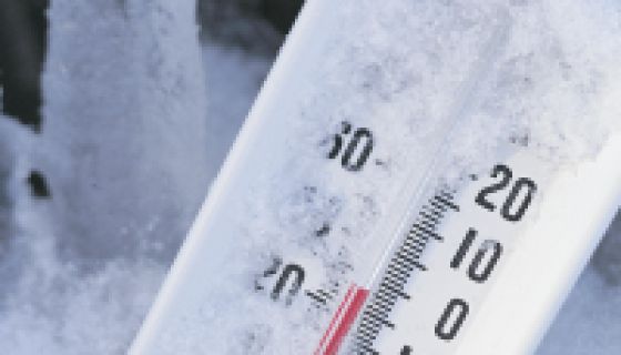
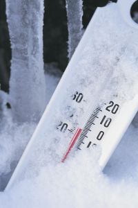
Winter Storm Warning Issued
Source: Comstock / Getty
Winter storm warning is in effect for NC starting Thursday morning through 6pm on Saturday.
ABC11 Meteorologist “Big Weather” Don Schwenneker says today’s sunshine will end with clouds that
will be the leading edge of an evolving storm system that will still be over Louisiana by this evening.
“This storm will move northeast and bring Central North Carolina a mix of snow, sleet and freezing rain by tomorrow morning,” Schwenneker said. “This precipitation will change over to all rain east and south of the Triangle where temperatures warm into the mid- to upper 30s.”
CLICK HERE to keep up with the latest weather alerts with ABC11.
Schwenneker says farther north and west, the precipitation will be mostly sleet and snow and could accumulate several inches.
“This precipitation will last through tomorrow night,” he said. “The storm will start to move away from the region on Saturday morning and the wintry mix of rain, ice and snow will turn to all snow from west to east across Central North Carolina. This could bring a snow accumulation, mostly from the Triangle on north and west. Drier weather will bring an end to the precipitation by late on Saturday.”
Text “LIGHT” To 37890 for your chance at ticket giveaways and news before anyone else!…Standard Messaging Rates Apply
LIKE The Light On Facebook To Keep Up With your favorite artist and celebrity news!