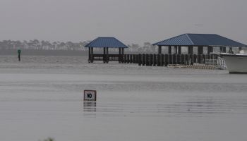
What was supposed to be Tropical Storm Nestor, has weakened to a post-tropical cyclone, as it approached Florida on Saturday morning, according to WRAL News. The National Hurricane Center says that the good news is that, once Nestor hits land, it will continue to weaken.
However, it’s forecast is still to continue moving northeast and hit North Carolina on Saturday evening. Rain is expected to hit Fayetteville around 5 p.m. and then Wake County around 6 p.m., WRAL meteorologist Peta Sheerwood said.
Southeastern parts of North Carolina may experience isolated tornadoes, heavy rain and damaging winds, which is why the area is under a severe weather threat. Heavier rain will pick up overnight and strengthen early Sunday morning in Durham and Wake counties.
Central North Carolina could see 1 to 3 inches of rain. Northeastern parts of the state could see 4 inches of rain.
Winds will get gusty on Sunday morning, reaching 36 mph. If you have plans to go to the fair Sunday morning, WRAL meteorologist Aimee Wilmoth warns that those winds could shut down rides.
However Sheerwood also said, that conditions will start clearing around noon.
click here for more information